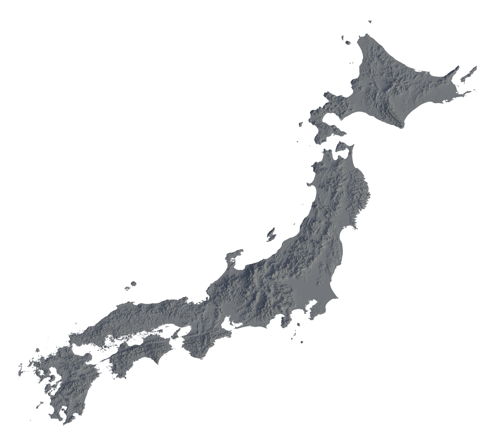
This clayful topographic map of Japan, in equirectangular projection, was created from a set of terrain tiles most graciously made available to the public by the operators of the Japanese ASTER satellite. It was rendered with Blender and its Cycles renderer.
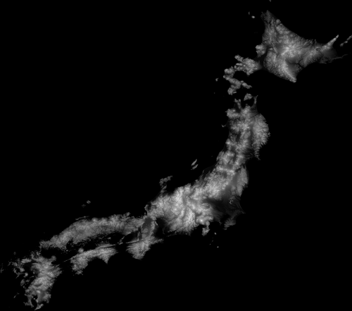
Zoom in! These sugar-cones are vulcanoes, the crumbles are mountain ranges, and cities take most the sea-side planes. If you prefer something more psychidelic (as far as gray goes), you can view the normal map directly.